When we study geography in school, we’re taught that Earth has six continents: America, Africa, Europe, Asia, Oceania, and Antarctica. But this division is more of a cultural and political convention than a scientific truth. Geology, for instance, offers a different perspective — one that brings to light a nearly forgotten landmass: Zealandia.

Also known by its Māori name Te Riu-a-Māui, Zealandia was officially recognized as a continent only in 2017. And it stands out for one very unusual reason: it’s almost entirely underwater.
A Continent Beneath the Waves
Zealandia is estimated to cover about 5 million square kilometers — roughly half the size of Brazil. What makes it so unique is that 95% of this area lies submerged beneath the ocean. The only portions that break the surface are the islands of New Zealand and New Caledonia, often referred to as the “tip of the iceberg” of this vast hidden continent.
Because of its mostly underwater nature, Zealandia was long left off maps and became known as the “lost continent.” However, from a geological standpoint, it meets all the criteria to be classified as a continent: it has elevated continental crust compared to the ocean floor, well-defined geological boundaries, and a distinct mineral composition.
The Youngest and Thinnest Continent on Earth
Zealandia is also considered the youngest and thinnest of Earth’s continental landmasses. Its history is linked to the breakup of the ancient supercontinent Gondwana tens of millions of years ago. While other continents rose and drifted apart, Zealandia slowly sank beneath the ocean.
Today, research into Zealandia offers insights not only into continental formation but also into tectonic plate dynamics and the marine biodiversity of the South Pacific. For divers, scientists, and ocean enthusiasts, exploring this submerged continent is like uncovering a forgotten chapter in Earth’s story — a powerful reminder that much of our planet’s secrets still lie beneath the waves.
More
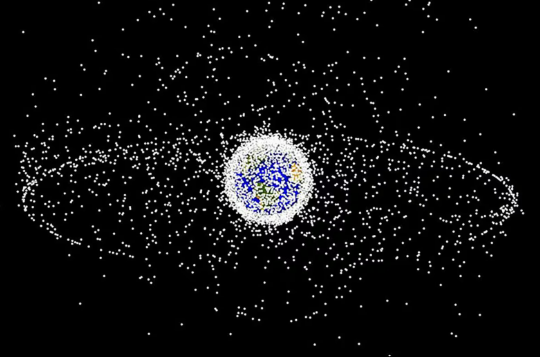
♻️ Recycling Space Debris Could Be the Key to Keeping Earth’s Orbit Safe
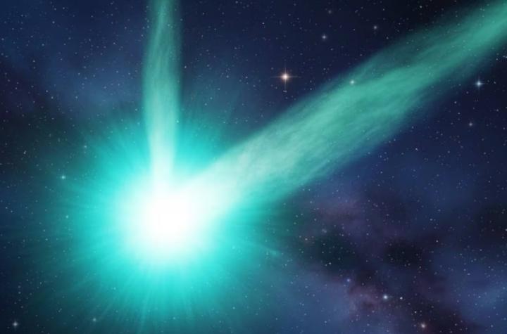
Juice Probe Captures Images of Active Interstellar Comet 3I/ATLAS, Suggesting Possible Double Tail
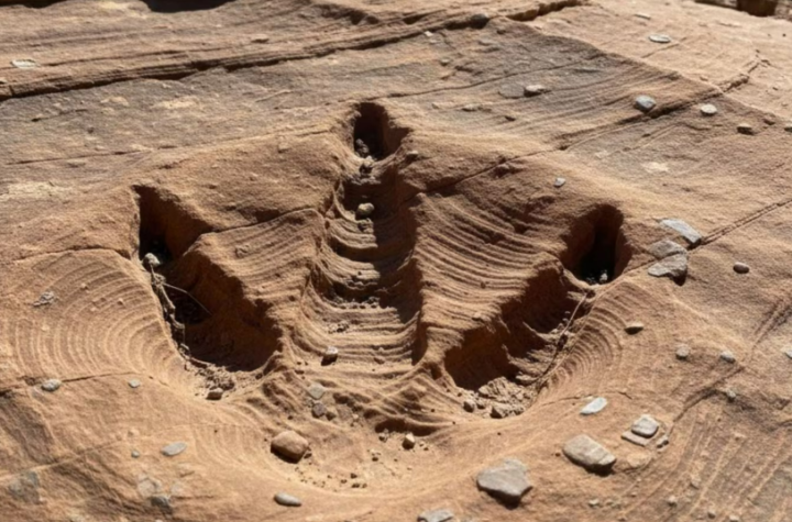
Largest Collection of Fossilized Carnivorous Dinosaur Tracks Ever Found Surprises Scientists in Bolivia