Last Thursday (9), images captured from space highlighted the severity of the Palisades wildfire, considered one of the most devastating in Los Angeles’ history, California. The photos were taken by Russian astronaut Alexander Gorbunov, currently aboard the International Space Station, and show the flames still active in the region between Santa Monica and Malibu.

The Palisades fire, along with the Eaton fire near Pasadena, ranks among the most destructive events ever recorded in the city. So far, more than 13,750 hectares have been consumed by the flames, turning entire neighborhoods to ashes.
The destruction caused by these wildfires underscores the increasing vulnerability of California’s forested areas, exacerbated by extreme weather conditions and persistent droughts.
More
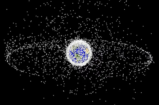
♻️ Recycling Space Debris Could Be the Key to Keeping Earth’s Orbit Safe
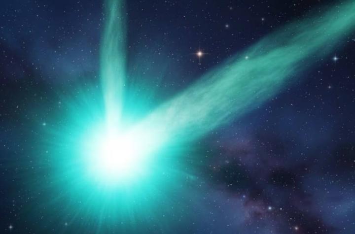
Juice Probe Captures Images of Active Interstellar Comet 3I/ATLAS, Suggesting Possible Double Tail
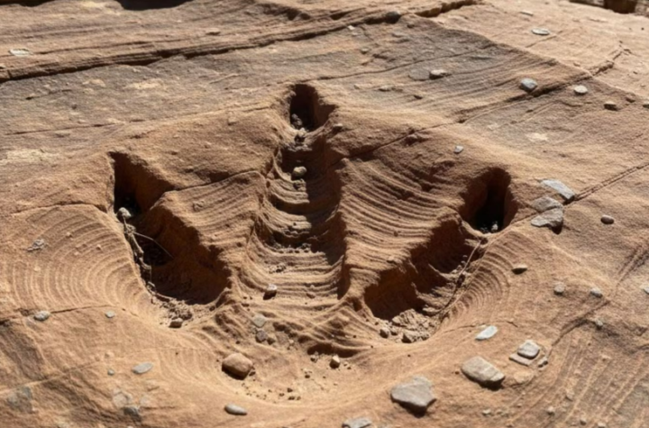
Largest Collection of Fossilized Carnivorous Dinosaur Tracks Ever Found Surprises Scientists in Bolivia